March 23-27, 2023
The next five days, we will be cruising around The Canary Islands, a Spanish archipelago off the coast of northwestern Africa. Because of their location, the Canary Islands have historically been considered a link between the four continents of Africa, North America, South America and Europe and strategically very important as a result. These rugged volcanic isles are known for their black and white sand beaches. The climate and natural beauty of the Canaries attract tourists year round.
I had assumed that the name of the islands was derived from the canary bird when in fact the bird is named after the islands. The name Islas Canarias comes from the Latin name Canariae Insulae, meaning “Islands of the Dogs”. According to historians, Grand Canaria contained “vast multitudes of dogs of a very large size”.
The Presa Canario is a Spanish breed of large dog of mastiff type. It originates in the Canary Islands, and is found mostly in the islands of Gran Canaria and Tenerife. It was formerly known as the Dogo Canario. During my visit to Tenerife, I did “meet” one of these dogs and while fairly large, he was very gentle!

Our first port in the Canaries is Santa Cruz de la Palma, the capital city of the island of La Palma. It’s known for its centuries-old architecture, cobbled streets and busy port but I was feeling lazy and opted for a nice relaxing day of lounging and reading on the pool deck.
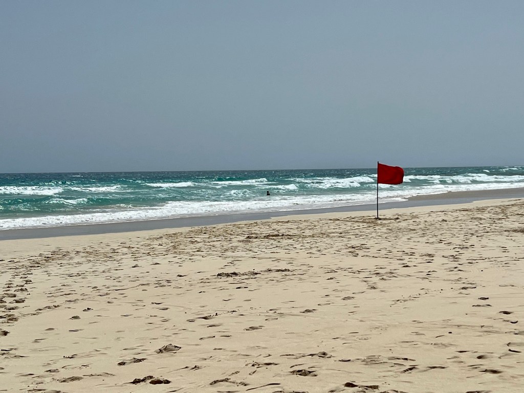
The second port we docked at in the Canaries was Puerto del Rosaria. Originally known as Puerto de Cabras (Port of the Goats), Puerto del Rosario was initially of little political importance but today is the capital of the island of Fuerteventura. Today rather than lounging on the pool deck, I headed off to Corralejo Dunes – an enormous beach of white sands bathed by the turquoise waters of the Atlantic Ocean. It was a lovely sunny day but the red flags (signifying danger) kept all but the most adventurous out of the water.

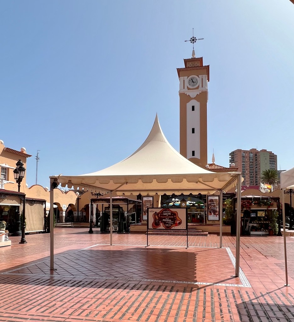
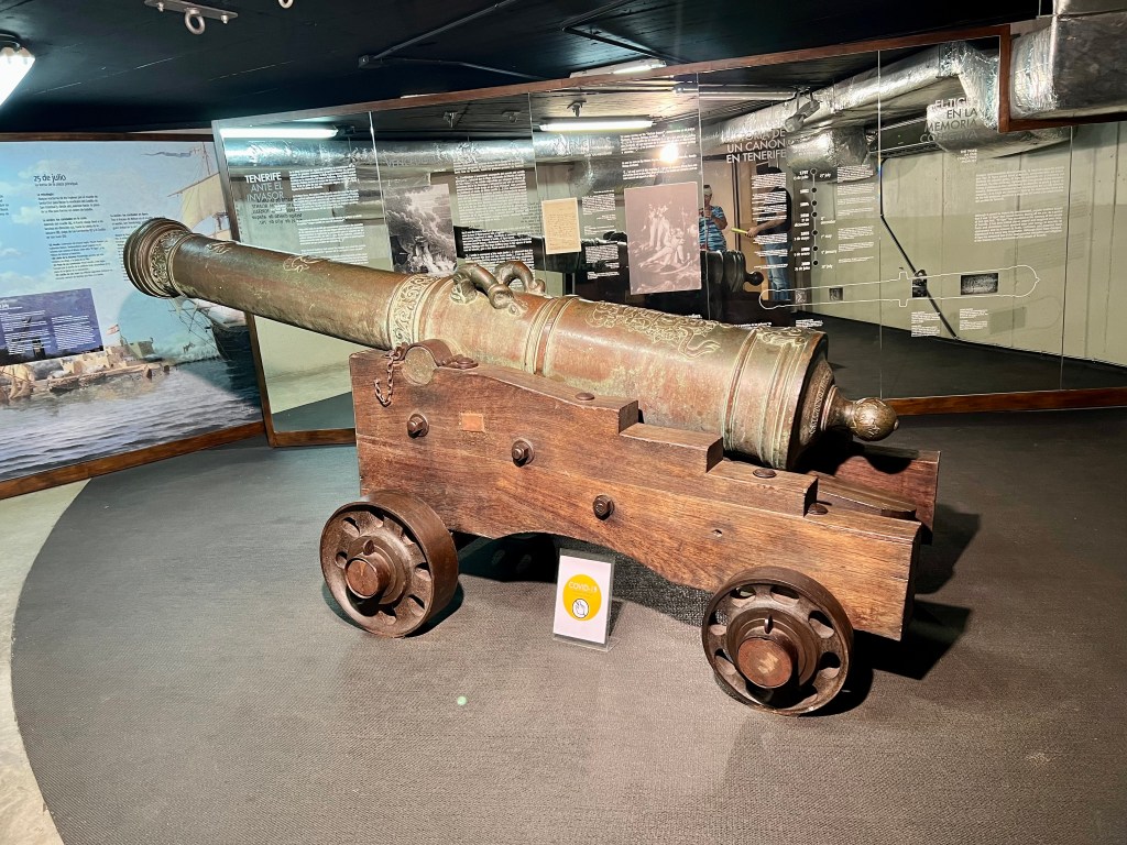
Next up was Santa Cruz de Tenerife. Until 1927, Santa Cruz was the sole capital of the Canary Island and today is home to the Parliament of the Canary Islands. Tenerife, the largest island, is dominated by the sometimes-snowy active volcano Mt. Teide, which has its own astronomical observatory and is part of Teide National Park. Santa Cruz de Tenerife hosts a huge pre-Lent Carnival. My walking tour was in the afternoon and as the African market was closed we checked out the museum celebrating the Carnival instead.

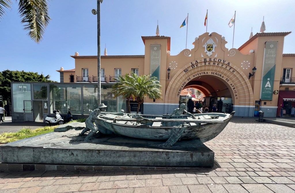
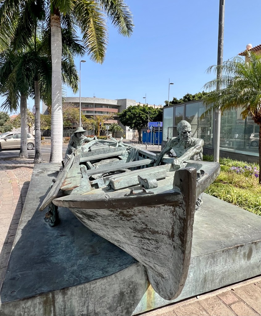
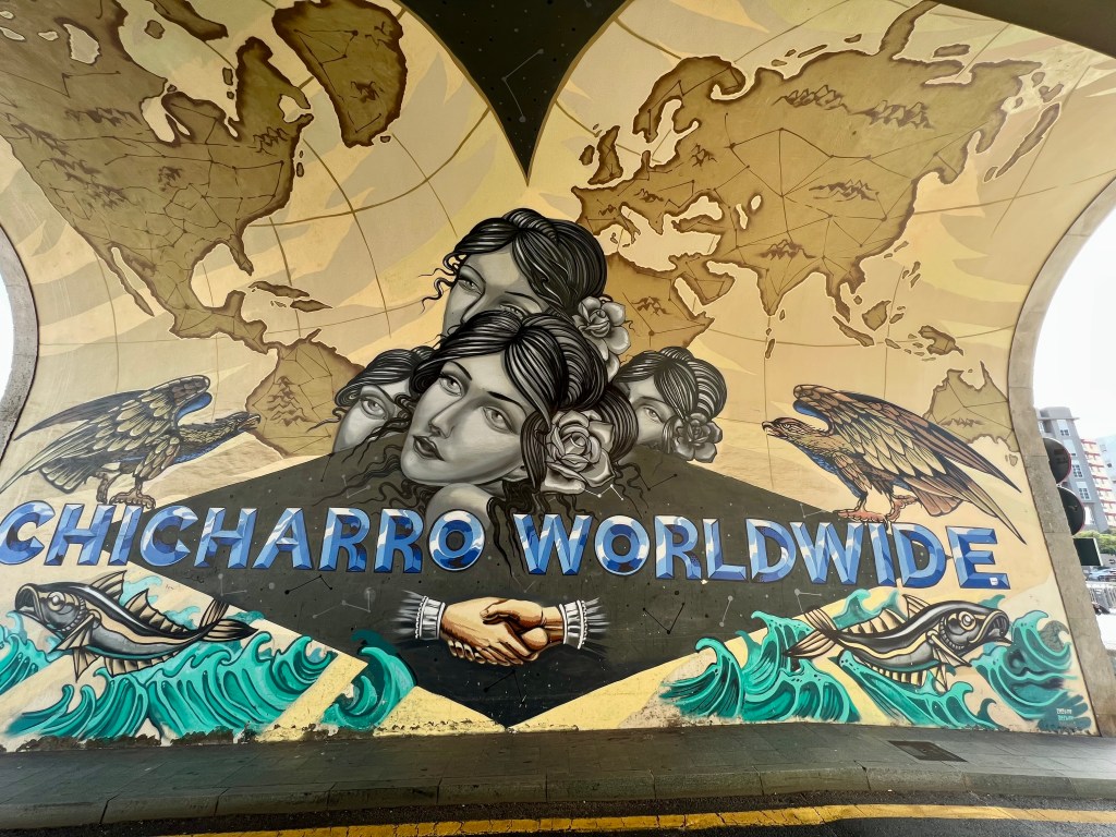
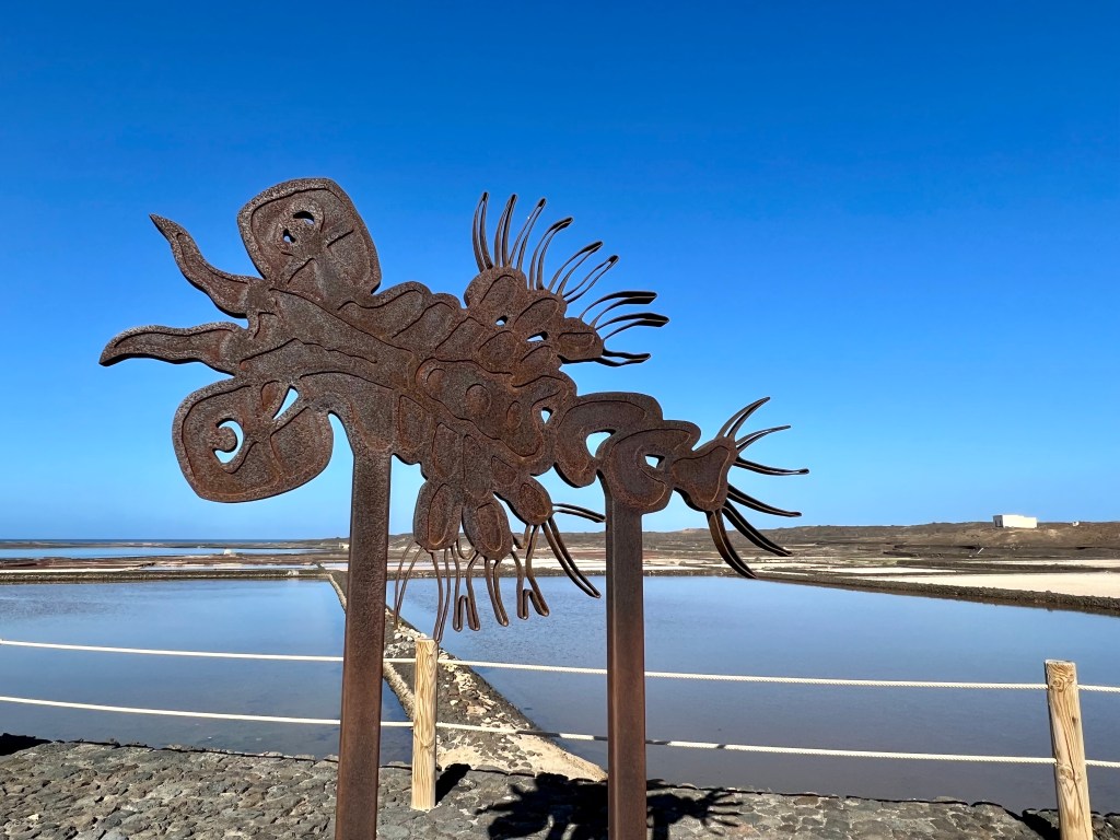
in the waters of the Island. This statue is dedicated to these fisherman and their catch.

selling milk and dairy products


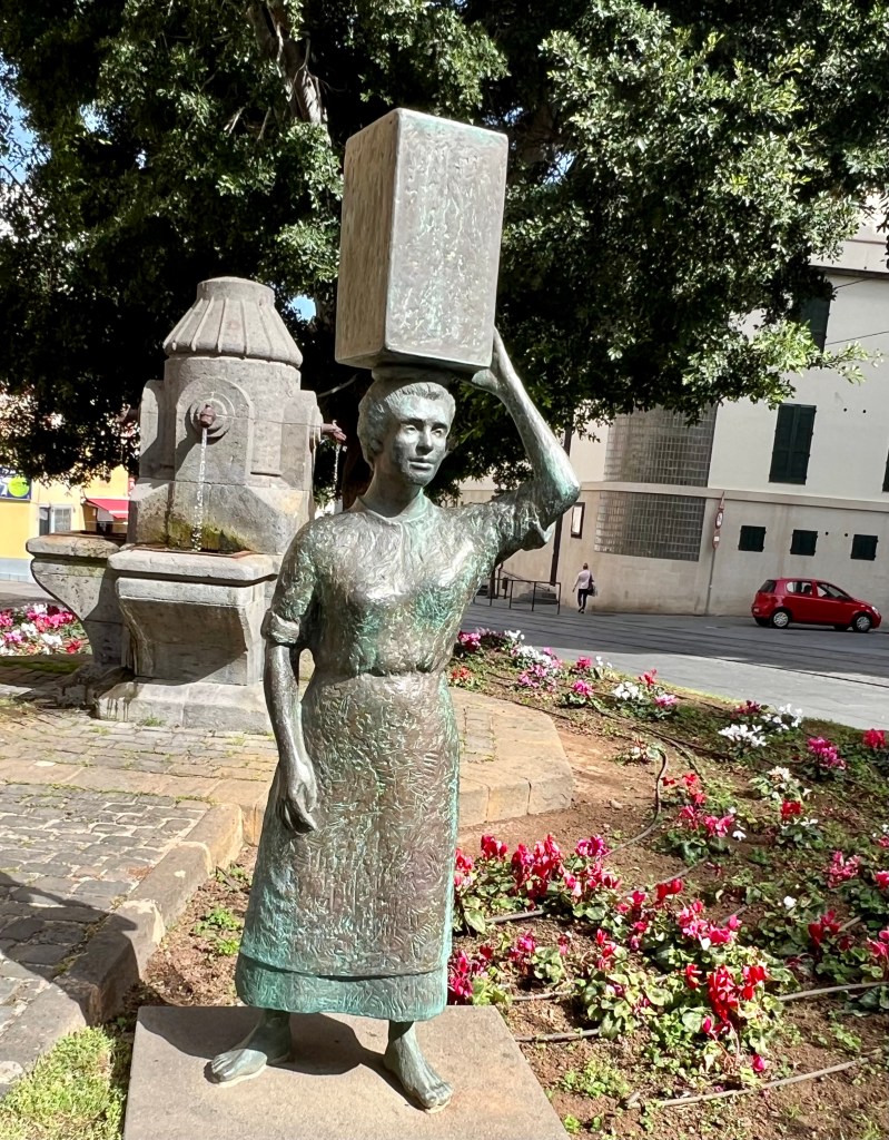
They carried water through the streets delivering it to households along the way.

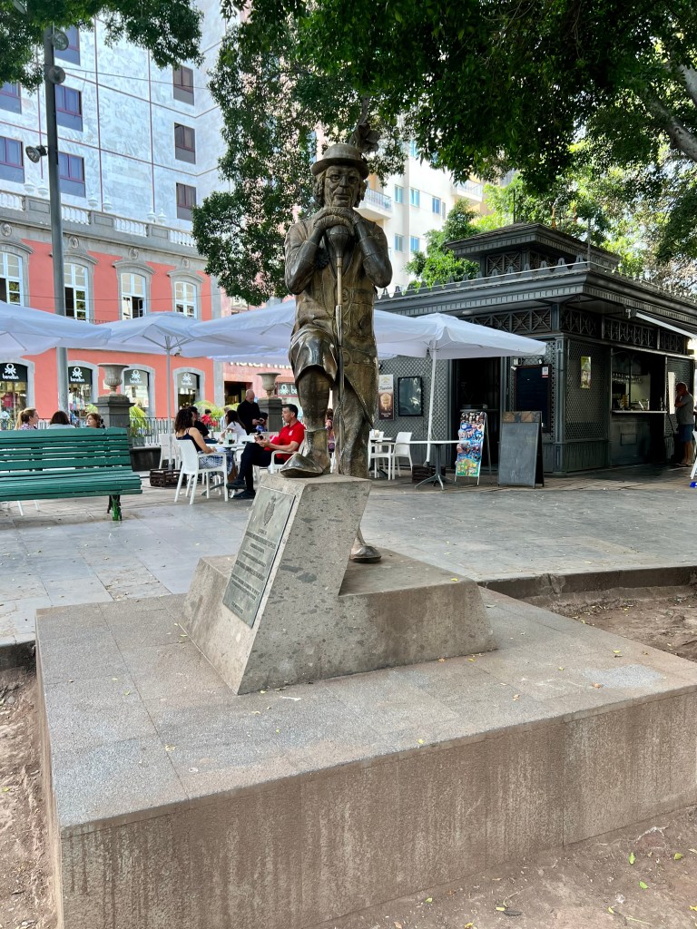
Santa Cruz de Tenerife carnival; he was one of the most important and beloved personalities.

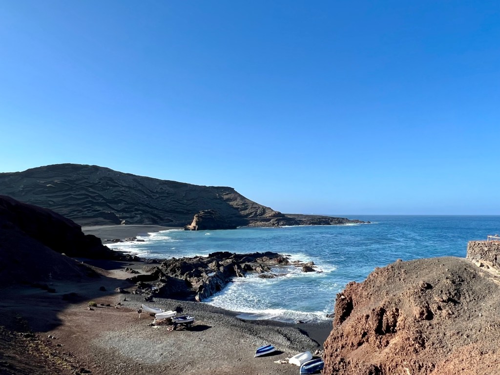
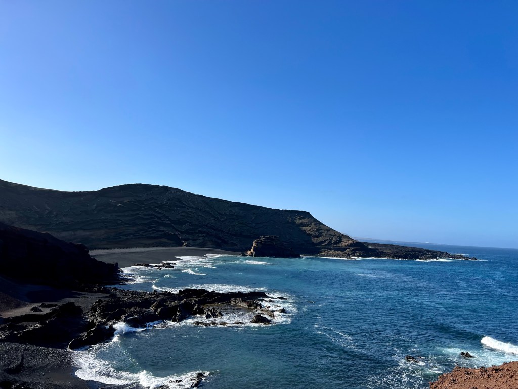
Our last port in the Canary Islands was Arrecife, the capital of Lanzarote. Today I’m heading off with my eight travelling companions on a whistle stop tour of this island known for its year-round warm weather, beaches and volcanic landscape. Timanfaya National Park’s rocky landscape was created by volcanic eruptions in the 1730s. In theory, we were heading out to see the best photo stops and take selfies but not sure that’s what actually happened! Either way, we did get to see some of the natural beauty of this island and take a few pics. Our first stop was the rugged coastline of Punta Fariones.
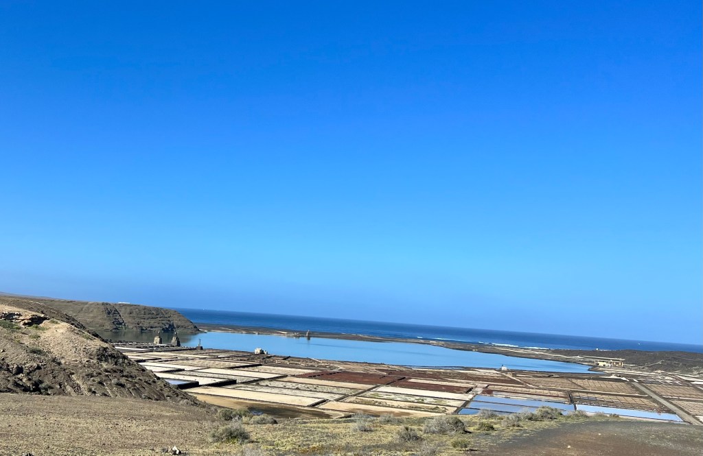
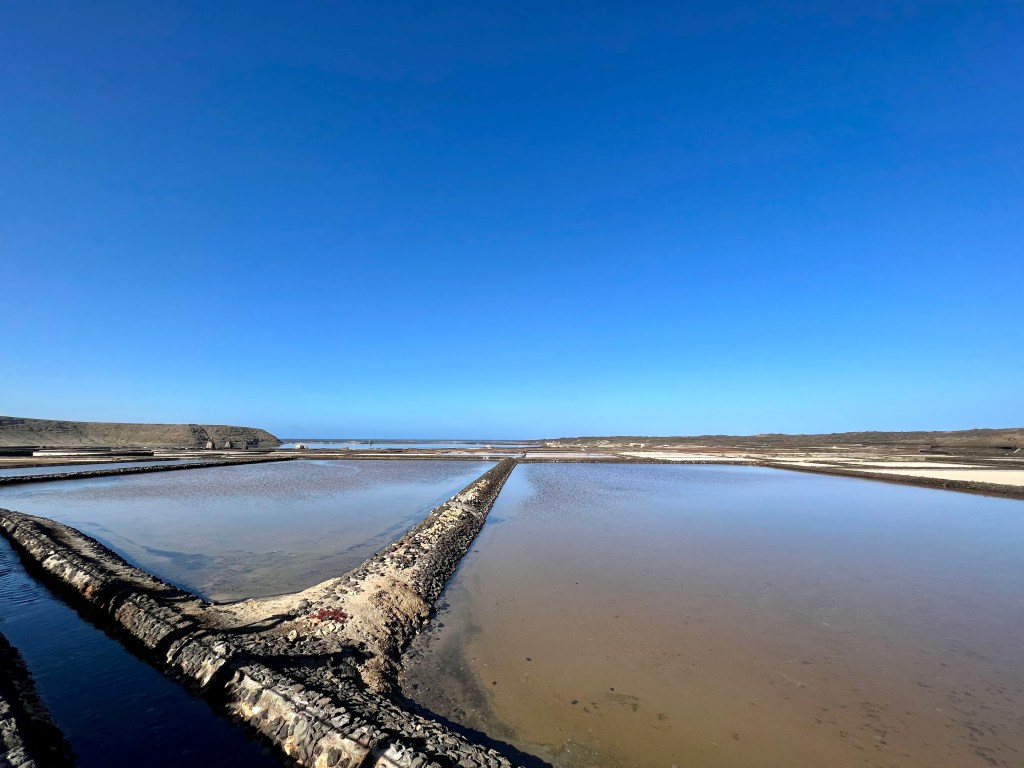
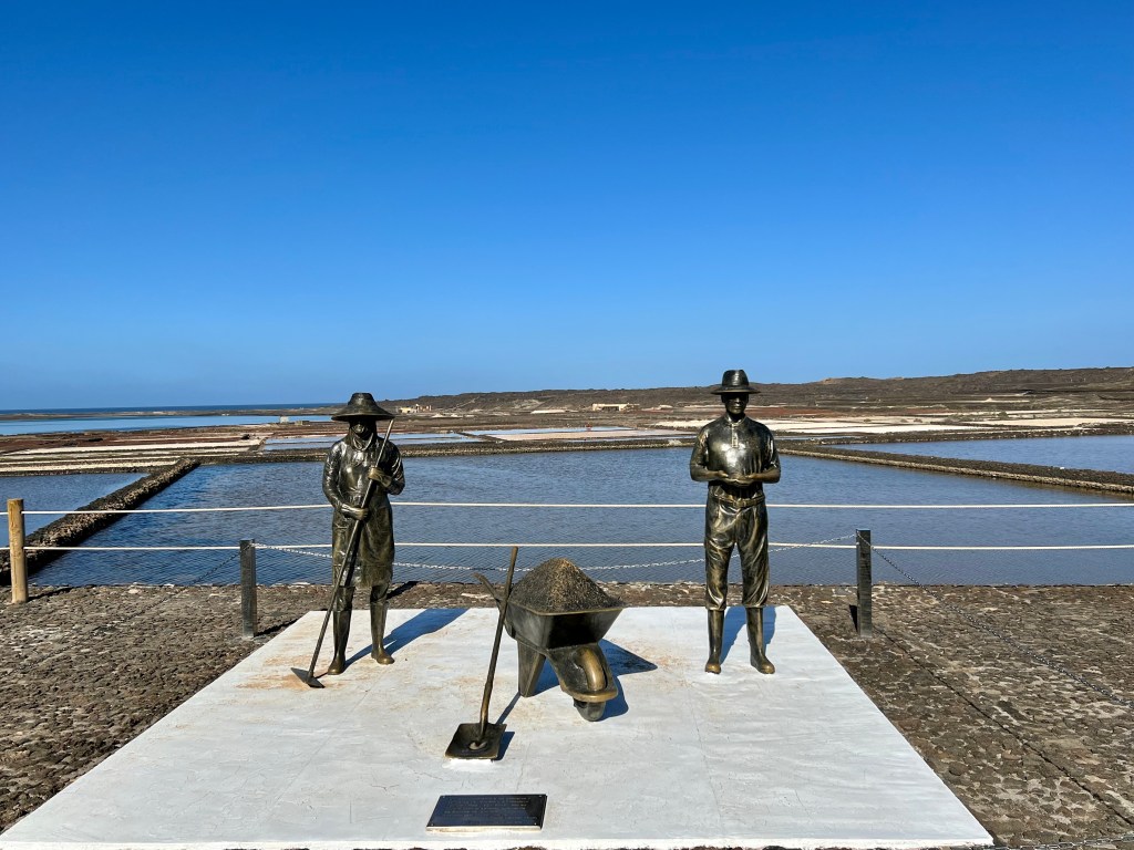
After taking the requisites pics including selfies, we headed off to the salt flats at Salinas de Janubio. In 1730, lava from volcano eruptions formed the walls of a natural lagoon and the salt flats were first created in 1895. The waters from the natural lagoon are evaporated to yield tasty finishing salt.
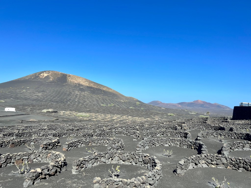
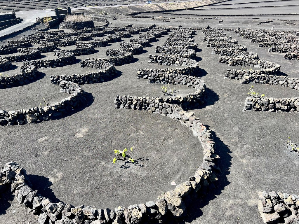
After a tasting, we headed toward Timanfaya National Park and La Geria.The landscape here is blanketed with a spectacular ‘black cloak” of volcanic ash formed following the Timanfaya volcanic eruptions between 1730 and 1736. With the passing of time, the inhabitants learnt to adapt and cultivate this inhospitable land by digging down on the fertile ground buried by the volcanic ash.
The grounds of La Geria are characterised by the cultivation of vines dug into a pit in the volcanic ash at a depth of 3 metres and a diameter of 8 metres. Each pit is surrounded by a semicircular stone wall, protecting the vines against the Trade winds which are predominant to the island. This overall effect resembles a dimpled black golf ball. The wine cellars of La Geria date from the end of the 19th Century and current production is around 400,000 kg of grapes from over 160 vineyards on the island. All grapes collected are then handpicked to produce 300,000 bottles per year of young white, red, rose and sweet wines.
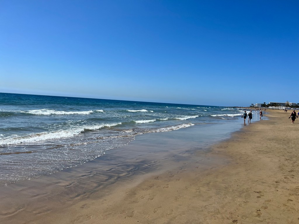
More pics and shopping and then we headed back to Arrecife for a last stop at the beautiful beach on the edge of town.

After a refreshing fruit smoothly, we boarded the bus for the return journey to the ship. Tomorrow is another day. Adventures await …
